CBRN-CADS EP.08 — The Invisible Line: Contamination Boundaries from the Sky
CBRN-CADS · EPISODE 8 OF 10
8
The Invisible Line
Contamination Boundaries from the Sky
Maj. Jim Gruny
USAF, Korean War Airborne FAC · Korean War · Inje-Hwacheon
STEP 1 · CONFRONTING CBRN SITUATIONS
Korea, 1951: The Mountains Hid Everything
The Korean Peninsula’s mountainous terrain made ground observation nearly impossible. North Korean and Chinese forces dug into hillsides, established positions in valleys, and used the terrain to hide from UN ground forces. Aerial reconnaissance existed but was disconnected from close air support — photographs were developed hours after flights, too late for tactical use. Major Jim Gruny flew a T-6 Texan at treetop level over enemy territory, acting as a live link between what the air could see and what the ground needed to know.
STEP 2 · CHARACTER ANALYSIS
Maj. Jim Gruny
Gruny was an Airborne Forward Air Controller — a pilot who flew low and slow over the battlefield, spotted targets that ground forces couldn’t see, marked them with smoke rockets, and directed faster fighter-bombers onto the targets. The T-6 was an unarmed trainer aircraft, chosen because it was slow enough to observe and sturdy enough to survive small-arms fire.
STEP 3 · IPB: CONTEXTUAL INTEGRATION
IPB: Seeing the Invisible from Above
Ground observation: Limited to 200-300m in mountain terrain. Enemy positions invisible behind ridges. Air observation: Complete battlefield visibility from 500m altitude. Gruny could see what no ground commander could see — and communicate it in real time.
The revolution: Expanding observation from 2D (ground level) to 3D (aerial perspective). This single dimensional upgrade transformed CAS accuracy.
STEP 4 · ★ CBRN RESOLUTION INTELLIGENCE
★ Drawing Lines That Don’t Exist on the Ground
Gruny drew invisible lines: ‘The enemy is on THIS side of the ridge. Your bombs go HERE.’ These boundaries existed only in his observation and radio calls. Ground forces couldn’t see them. Pilots couldn’t see them without his guidance.
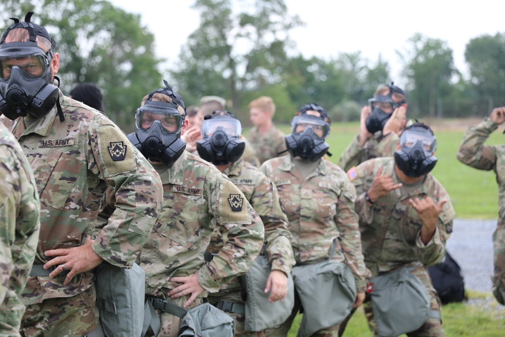
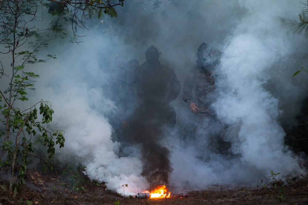
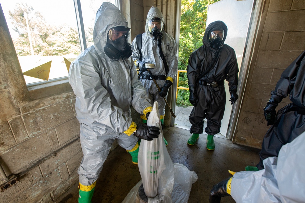
CBRN contamination creates the same invisible boundaries. A chemical plume has no visible edge. Radiation has no color. Bio-aerosols are invisible. Ground troops cannot see where the contamination ends and safety begins.
CBRN-CADS drone sensors do what Gruny did: draw the invisible line from the sky. 3D contamination plume mapping creates boundaries that save lives — boundaries that are invisible from the ground.
RQ 80/100 · HIGH
STEP 5 · DECISION-MAKING
From Smoke Markers to Digital Plume Maps
Gruny marked targets with smoke rockets — a physical, visible marker that lasted seconds. CBRN-CADS creates persistent digital contamination maps (DAM — Decontamination Assurance Map) that update in real time, overlay on tactical displays, and feed directly into the D-M-D-A-V pipeline.
STEP 6 · SITUATION RESOLUTION
The Airborne FAC concept born in Korea evolved into modern JTAC (Joint Terminal Attack Controller) doctrine. Gruny’s principle — seeing what the ground can’t see and communicating it in real time — is the foundation of every modern ISR and CAS operation. CBRN-CADS applies this principle to the invisible battlefield of contamination.
D
DETECT
▸
M
MAP
▸
D
DECON
▸
A
ASSESS
▸
V
VERIFY
STEP 7 · CBRN-CADS SIMULATION SCENARIO
🎯
3D Contamination Plume Mapper
INTERACTIVE
지상에서 보이지 않는 오염 경계를 드론 센서가 3D로 매핑하는 시뮬레이션.
| CAS ORIGINAL | CBRN-CADS | SELECT VARIABLE |
|---|---|---|
| Observation Alt. | Drone Sensor Altitude | |
| Target Visibility | Contamination Visibility | |
| Marking Method | Mapping Output |
▶ AI RECOMMENDATION
MODE3D Plume Map: 4-layer contamination overlay
CONFIDENCEHIGH — multi-sensor fusion
DURATIONContinuous update every 5 sec
PARAMETERSPlume boundary accuracy: ±15m
ASSETSDAM overlay → Lattice COP → all units

TAGS & HASHTAGS
#ContaminationMapping
#CBRNDecontamination
#AutonomousDrone
#CBRNCADS
#DefenseTech2026
#InvisibleLine
#Salisbury2018
#CBRNDecontamination
#AutonomousDrone
#CBRNCADS
#DefenseTech2026
#InvisibleLine
#Salisbury2018
SEO METADATA
SEO Title: CBRN-CADS EP.08: The Invisible Line — Contamination Boundaries from the Sky
Meta Description: Salisbury Novichok spread undetected for weeks. CBRN-CADS maps contamination boundaries autonomously in minutes from aerial platforms.
Focus Keyphrase: contamination boundary mapping autonomous drone CBRN
Secondary Keywords: CBRN-CADS, Salisbury Novichok, contamination mapping, aerial detection
Slug: cbrn-cads-invisible-line
Category: CBRN-CADS · Pillar A: History’s CBRN Lessons

댓글
댓글 쓰기